GIS to Plan a Better Future: Malaysian Scholars Make Waves at Erbil International Conference
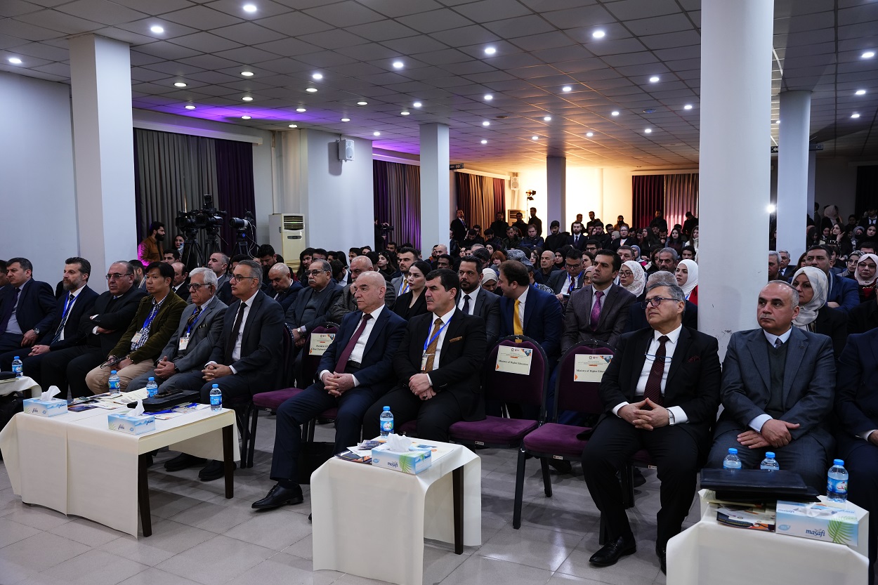
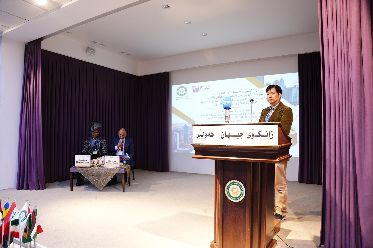
Prof. Dr. Mohamed Johari Mohamed Yusof, Dean, Faculty of Design and Architecture, Universiti Putra Malaysia (UPM), was invited to present a lecture on the ” Geographical Information System (GIS) in Landscape Resource planning: Malaysian Experience ” at the 5th International Conference on Architectural and Civil Engineering Sciences (ICACE-2025) jointly organized by Cihan University-Erbil and UPM on February 26-27, 2025.
In his presentation, Professor Yusof highlighted Malaysia pioneering experience in the adoption GI and his implementation in various aspects of urban planning and resource management. He went on to describe how this technology has revolutionized the processes of urban planning and infrastructure development while also aiding in environmental protection and the efficient management of natural resources.
Inspired by the material covered in the lectures, applications will take shape (in terms of at that time) the first GIS in Malaysia, namely related to the development of public parks and urban space, planning rural areas and forest and the impact of climate change on the landscape. GIS is a system that provides information about land use, analysis of needs, and has detailed information in maps to help determine spatial factors in decision-making.
From a comparative stand, Professor Yusof focused on the overall experience of this GIS practice in Malaysia and extended it to show a potential solution for Iraq and the Kurdistan Region with remarkable potential for urban planning and resource management. But he also highlighted the hurdles standing in the way of the technology’s deployment, such as a lack of trained personnel, the need for strong digital infrastructure, and the importance of having correct spatial data.
Geographic Information Systems (GIS) have great potential but leverage only if local people are trained and capable to act on it (data prepared for the best use) “investments into human capital: getting the right advice — this is expensive and should be developed locally.” He also emphasized the importance of building digital infrastructure and ensuring the availability of accurate spatial data, as prerequisites for deploying this technology.
The lecture was highly interactive with numerous contributions and questions from the audience who shared their experiences and knowledge sharing.
The two-day conference is useful for participants and researchers who interested in architectural and Engineering sciences and in exchanging knowledge and sharing experience.